Understanding the PLATEAU 'udx' Folder: What Are bldg, dem, and Others?
This article is a translated version of my original post on Qiita. Original (Japanese): https://qiita.com/segur/items/49a202ecb3c9f8bf5931
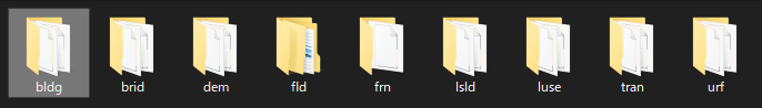
When you download PLATEAU data, you'll notice that the udx folder is massive. Upon closer inspection, you'll find it contains many mysterious subfolders, each housing a collection of GML or JPG files.
Since not all of these files are relevant to my work, I decided to explore what data each folder contains.
After numerous web searches turned up only fragmented information and left me nearly giving up, I found a specification document included within the specification folder inside the downloaded ZIP file. (In hindsight, I should have checked this first...)
Here's what the specification document reveals!
| Folder Name | Stored Data | Notes |
|---|---|---|
bldg |
Buildings | Presumably an abbreviation for building |
brid |
Bridges | Presumably an abbreviation for bridge |
dem |
Terrain | Possibly stands for digital elevation model |
fld |
Flood Inundation Areas | Presumably an abbreviation for flood |
frn |
Installations (Urban Facilities) | Unsure of abbreviation; insights welcome! |
lsld |
Landslide Hazard Areas | Presumably an abbreviation for landslide |
luse |
Land Use | Presumably an abbreviation for land use |
tnm |
Tsunami Inundation Model | Presumably an abbreviation for tsunami |
tran |
Roads | Presumably an abbreviation for transportation |
urf |
Urban Planning Zones | Presumably an abbreviation for urban facilities |
veg |
Vegetation | Presumably an abbreviation for vegetation |
For my purposes, I found that only bldg and dem are necessary.
Conclusion
In compiling this article, I referenced the following sites. Thank you for the informative content.
- 3D Urban Model (Project PLATEAU) Tokyo's 23 Wards
- Applying Aerial Image Textures to PLATEAU DEM Files
I hope this helps you determine which data folders are relevant to your urban development projects!